Fiscalini Ranch Preserve
The Fiscalini Ranch Preserve is a 430-acre open space property surrounded by the community of Cambria and bounded on the west by the Pacific Ocean. The Ranch has long been recognized for its scenic and habitat values. In its recent history, the Ranch has been used for cattle ranching, some crop production, and hiking. The Ranch is also beneficial to the Cambria Community Service District and fire agencies for emergency and utility service enhancement between the Park Hill, Marine Terrace, and West Lodge Hill neighborhoods. The Ranch is divided by the Hwy 1 corridor into portions referred as the East Ranch and West Ranch.
West Ranch
The 350-acre western portion of the Ranch consists of steep to gently sloping hillsides immediately west of Hwy 1. West Ranch is enveloped on three sides by the Park Hill residential neighborhood to the north, the West Lodge Hill neighborhood to the south, and the town of Cambria to the east. The steep hillsides give way to gentle, rolling terrain extending westward from the ridgetop to the ocean bluff above the Pacific Ocean. The steeper portion of the West Ranch is composed of dense mixed forest, including Monterey Pines, with the southeast corner supporting the largest stand of this habitat type on the site. The forest extends over the ridgeline (an elevation of approximately 257 feet) and down the western slope to an elevation of about 235 feet. Smaller stands of Monterey Pines exist in the southwestern portion of the West Ranch as well. Much of the gently rolling terrain and coastal terraces west of the ridgeline are covered by grasslands that extend toward the sea bluff. Small areas of riparian scrub and seasonal wetlands persist along the drainages that flow westward from the hillside. These drainages support various types of hydrophytic (i.e. water-loving) vegetation. Furthermore, plants characteristic of wetland habitats are scattered throughout the grassland areas on the coastal terraces to the edge of the bluff.

East Ranch
The 70-acre eastern side of the Ranch lies to the north and south of Santa Rosa Creek and east of Hwy 1, and consists largely of the stream channel, banks, and flood plain of the creek. Santa Rosa Creek is the major drainage feature on the East Ranch and a small portion of the West Ranch. The creek is confined to a natural channel approximately 100 feet wide, but much of the year it is confined to a low-flow channel that is roughly 15 feet wide. Most of the floodplain away from the Santa Rosa Creek riparian corridor is covered by grassland until it transitions into the seasonal wetland and riparian areas near Hwy 1. The southern boundary of the East Ranch is a steep forest and coastal scrub covered hillside that extends from the creek floodplain (an elevation of approximately 33 to 43 feet) up to the 170-foot ridgeline. This hillside consists mainly of Monterey Pine forest and Coast Live Oak/Toyon woodland with small patches of coastal scrub. The southwestern portion of the East Ranch along Hwy 1 contains a seasonal wetland, which supports hydrophytic vegetation.

Ranch Accessibility
The Ranch is accessible from many locations in the community. Historically, the public has accessed West Ranch from Windsor Boulevard, which runs to the north and south of the West Ranch, as well as from some undeveloped properties along Huntington and Warren Roads. The public also uses roads for the Community Service District sewer lines that extend into the Ranch from Hwy 1 near the bridge and from Rodeo Drive on the east to access the property. Hikers typically reach East Ranch from volunteer trails in the East Lodge Hill neighborhood. Rodeo Grounds Drive, off Burton Drive, provides the CCSD access to East Ranch and to their water works next to Santa Rosa Creek.
The Cambria Community Services District (CCSD) will manage both the East and West areas of the Ranch until such time that North Coast Small Wilderness Area Preservation (NCSWAP), or their successor in kind, exercises its option to assume management of the West Ranch.
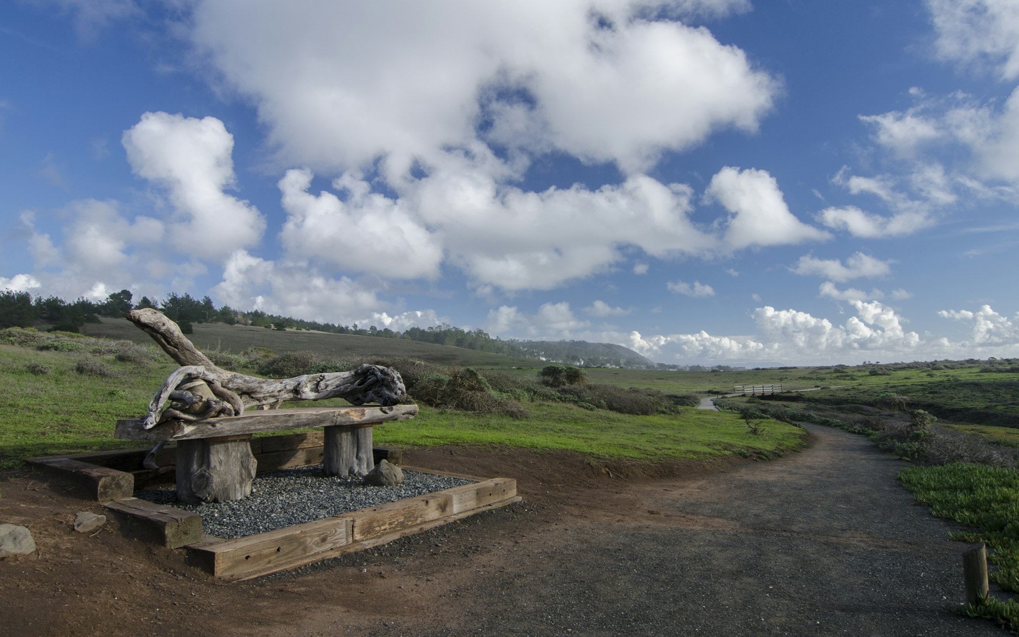
There are numerous trails on the West Fiscalini Ranch Preserve, most of which are open to hikers, and bicyclists. The Bluff trail is on the West side of the Ranch. The trail underwent significant improvements in 2006, making it completely ADA accessible including an ADA parking area on the north trailhead. The Marine Terrace Trail on the West side of the Ranch is an ADA-accessible emergency roadway as well as a multipurpose trail for bicyclists, hikers and dogs. Dogs must be on a leash.